Satellites and World Heritage Sites
Video: Satellites, World Heritage Sites and Climate Change
RTCC has put together a video slideshow of all the satellite images shown as part of the UNESCO outdoor exhibition ‘Satellites and World Heritage Sites, Partners to Understand Climate Change.’
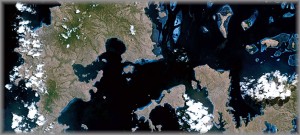
Satellite Image: Loss of Corals, Mangroves and Turtles in the Komodo National Park
Produced as part of UNESCO’s international ‘Satellites and World Heritage Sites, Partners to Understand Climate Change’ exhibition, this image is of the Komodo National Park in Indonesdia.
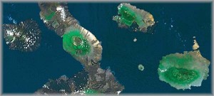
Satellite Image: Intensification of ENSO Effects in the Galapagos Islands
Produced as part of UNESCO’s international ‘Satellites and World Heritage Sites, Partners to Understand Climate Change’ exhibition, this image shows the ENSO effects in the Galapagos Islands.
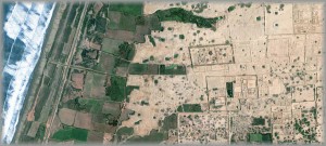
Satellite Image: Threatened Earth Structures in the Chan Chan Archaeological Zone
Produced as part of UNESCO’s international ‘Satellites and World Heritage Sites, Partners to Understand Climate Change’ exhibition, this image shows the threatened earth structures in the Chan Chan Archaeological Zone in Peru.
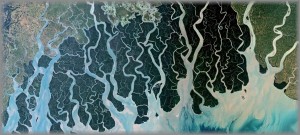
Satellite Photo: Destruction of the Mangrove Forest of the Sundarbans
Produced as part of UNESCO’s ‘Satellites and World Heritage Sites, Partners to Understand Climate Change’ exhibition, this satellite image shows the destruction of Mangroves in the Bay of Bengal.
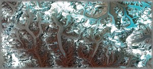
Satellite Photo: Shrinking Glaciers on Mount Everest
Produced as part of UNESCO’s international ‘Satellites and World Heritage Sites, Partners to Understand Climate Change’ exhibition, this image shows the melting glaciers on Mount Everest.
