Climate science
Audio: How can we make climate science easier to understand?
Climate scientist Dr Andrew Jarvis from Lancaster University argues that it’s not too complicated, provided scientists and the media stick to the basics.
Maldives climate action to continue despite political turmoil
Official says adaptation plans will not be disrupted as the country looks to shift populations to its most resilient islands.
UN Water Report: Climate change to exacerbate water stress
New report highlights acute water shortages developing world could face as climate changes over next three decades.
Climate change could lead to loss of biodiversity in glacier-fed rivers
New research has warned on the impact of retreating glaciers from climate change on the ecosystems of the river reliant on their water run off.
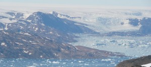
Greenland ice sheet could melt completely with 1.6°C temperature rise
New research find the Greenland ice sheet may be more sensitive to long term climate change then scientists had previously thought.
$300 billion a year needed to save biodiversity
The new chief of the United National Convention of Biological Diversity has said saving biodiversity will cost the world $300 billion a year but warned doing nothing would cost much more.
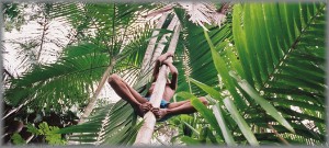
Photo of the week #8
This week’s photo of the week features the Açai Palm trees found in the Amazon Rainforest in Brazil.
Anti-fossil fuel protests greet UNESCO visit to Great Barrier Reef
LNG and coal developments heighten risk to protected marine park, according to environmental groups.
Climate change to increase chance of early tornadoes
Scientists warn that early tornadoes, like those seen across the US last week, could become the norm because of climate change.
New study: 1.4°C of warming will trigger global rainfall disruption
Researchers have predicted that rainfall in the wet season will not be affected by global warming until threshold reached.
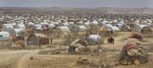
New Horn of Africa drought warning
Experts say region set for more misery after worst drought in six decades hit last year.
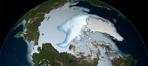
NASA: Arctic’s oldest sea ice disappearing fastest
The arctic’s oldest ice disappearing faster than newer, thinner ice according to a new study from a NASA scientist.
WWF says Arctic drilling ‘absurd’ but outright ban unlikely
UK branch of organisation expects first Arctic drilling to commence this year and tells parliamentary committee it will focus attention on vulnerable areas.
Photo of the week #7
This week’s photo of the week, the Virunga Mountains in Rwanda.
Why are the world’s lakes disappearing?
As concerns are raised over the receeding Lake Urmia in Iran RTCC takes a look at some of the lakes and rivers disappearing across the world.
Climate change could make Everest summits history
Climate change and rising temperatures are changing the face of the Himalayas, making Everest unclimable and threatening the region’s farming communities says Nepal’s “Super Sherpa.”
Photo of the week #6
This week’s Rio Conventions Calendar photo features an Emperor Penguin from the Antarctic peninsula.
Video: Satellites, World Heritage Sites and Climate Change
RTCC has put together a video slideshow of all the satellite images shown as part of the UNESCO outdoor exhibition ‘Satellites and World Heritage Sites, Partners to Understand Climate Change.’
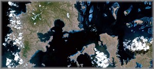
Satellite Image: Loss of Corals, Mangroves and Turtles in the Komodo National Park
Produced as part of UNESCO’s international ‘Satellites and World Heritage Sites, Partners to Understand Climate Change’ exhibition, this image is of the Komodo National Park in Indonesdia.
Tropical birds under threat from climate change
Tropical bird species living in mountains, costal forests and small areas are under threat from climate change, say researchers.

